August 21, 2023 - Alaska
Denali National Park
|
|
Leaving Talkeetna, we headed up Highway Three through the west side of the vast Denali National Park and Preserve. There are a couple of overlooks where you can see Mount Denali on a clear day, even though the CPA -- closest point of approach -- on a clear day. Unfortunately we were far from a clear day, driving drove a low overcast the entire day. The main Denali National Park visitors center is way up in the northeast corner of the park, 195 miles from Wasilla and 154 from Talkeetna.
Right off Highway Three to the west is the Park entrance sign.
|
| |
 |
|
|
A couple of miles further west is the Denali Visitor Center.
|
| |
 |
|
| The Park and Preserve is huge. That said, you can't see it from the road, because there it is only one road. And the one road road -- from the Visitors Center, goes west only 50 miles. And you can only drive the first 15 miles to the Savage River in your personal vehicle! You have to take a bus to go to the end to Kantishna. The round-trip bus trip takes 8-10 hours! Not to self: There is a 1900 foot gravel strip at Kantishna, but no facilities. |
| |
 |
|
| The visitors center was well-done and interesting. Lots of stuffed animals, like this Bighorn Sheep. |
| |
 |
|
| Lots of Moose in Alaska. |
| |
 |
|
|
This doggy got a bone.
|
| |
 |
|
| What's left of a Carabou. |
| |
 |
|
|
The most interesting thing to me, as usual, was this very large topographical map.
This shot is looking southwest down the 600 mile long Alaskan Range. Mount Denali is in the middle. Where we are now, at the Visitors Center, is in the lower right corner. The red line is the aforementioned road from the Visitors Center to Kantishma. I'm guessing at Kantishma you can get a pretty good look at Mount Denali, whether permitting. We heard Mount Denali is only visible 30% of the time. The White line is Highway Three.
|
| |
 |
|
| Now looking northwest with Talkeetna at lower left. Mount Denali is clearly visible at upper right. |
| |
 |
|
| Now looking northeast with Mount Denali at top center. |
| |
 |
|
|
It was a pretty 15 mile drive from the Visitors Center to the Savage River. That's the Savage River down below running left to right. Lynnette, Maggie -- with raised arms, and Parker are down on the river gravel.
|
| |
 |
|
| P24 |
| |
 |
|
|
Looking north up the Savage River.
|
| |
 |
|
| An interesting rock formation towers over the parking lot. |
| |
 |
|
| The bridge over the Savage River. On the other side is a guard gate where a pleasant National Park ranger tells you only buses may proceed beyond this point and politely asks you to turn around. I know a guy who had this happen to him. One of the buses is visible at center. |
| |
 |
|
|
Looking out over the valley to the south with the Alaskan Range mostly obscured in the distance.
|
| |
 |
|
| This is a trailhead for some hiking but we couldn't do it because the hikes were too long for Parker. Plus we saw the below sign. |
| |
 |
|
| We headed east back to the Visitor Center. Along the way we stopped and did a short half-mile hike. |
| |
 |
|
|
Parker started off strong.
|
| |
 |
|
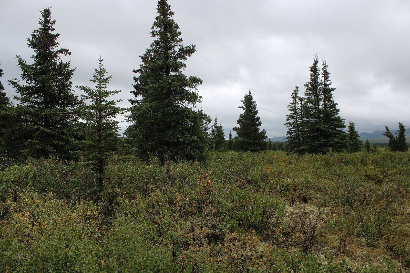
| Very pretty scenery. |
| |
 |
|
|
Parker still going strong.
|
| |
 |
|
| Somewhere out there is Denali. |
| |
 |
|
| There used to be a tourist campsite in this area with cabins, a store, and such. Now, you would never know it was here, other than from placards. |
| |
 |
|
| Pretty. |
| |
 |
|
|
|
| |
 |
|
|
A lone pine tree stands tall.
|
| |
 |
|
|
|
| |
 |
|
| |
| |
 |
|
| We spot our first Alaskan wildlife: a squirrel. Never seen one of those before! |
| |
 |
|
| |
| |
 |
|
|
Alas, halfway through the half-mile hike Parker ran out of gas.
|
| |
 |
|
| Maggie's Tahoe. Good vehicle for Alaska. |
| |
 |
|
| Not really a good day for flying. |
| |
 |
|
| Driving back to the Visitors Center, we took a few pictures from the road. |
| |
 |
|
|
|
| |
 |
|
| People were pulled over on the road. Apparently there was a moose or bear somewhere on that hill. |
| |
 |
|
| We stayed overnight in an AirBnB a few miles north from the Visitors Center in a little town called Healy. We found this cafe on the northside of Healy called Rose's Cafe which served an awesome breakfast. |
| |
 |
|
| Rose's Cafe -- highly recommended. |
| |
 |
|
| |
| |
|
|
|
|
|
|